


Blog
2026.01.23
Mt. Kannon Covered in Snow
In preparation for February's event, "Explore the Warm Wind Cave at Mt. Kannon," I visited Mt. Kannon on January 23rd.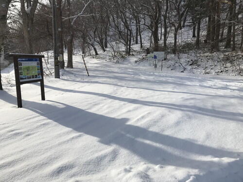
In front of the information board
At the Kamui Chashi Monument 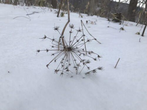
A plant from the parsley family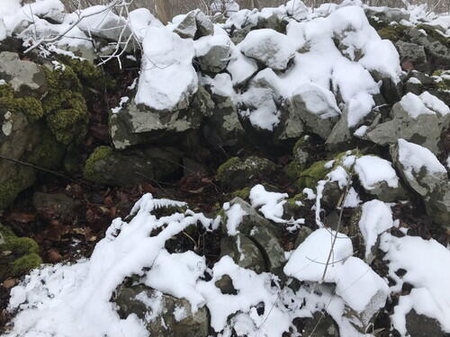
The air coming out of the wind cave was warm enough to melt the surrounding snow. So far, the area looks good for the event next month.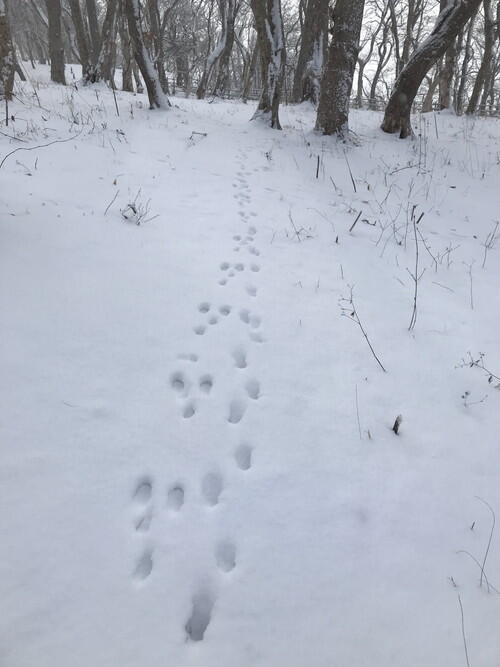
On the left are Ezo alpine hare prints. On the right are either fox or tanuki prints.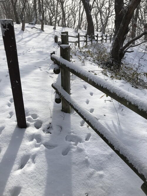
Ezo deer tracks are going beyond the fence, so they must be climbing over it. 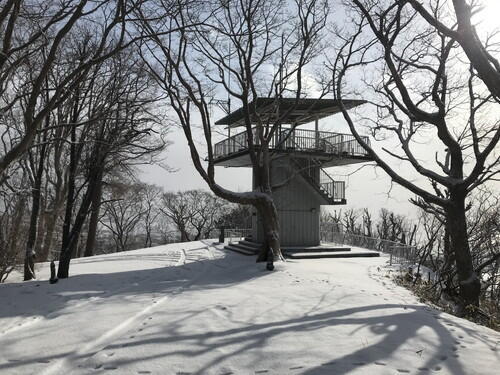
The observation deck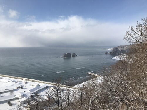
Parent and Child Rocks as seen from the observation deck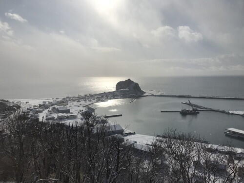
Cape Enrumu as seen from the observation deck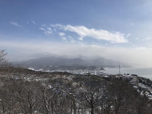
Cloud covered Mt. Apoi as seen from the observation deck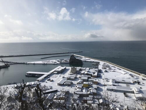
Sobira-iwa as seen from the observation deck. It's right in the middle of the fishing harbor.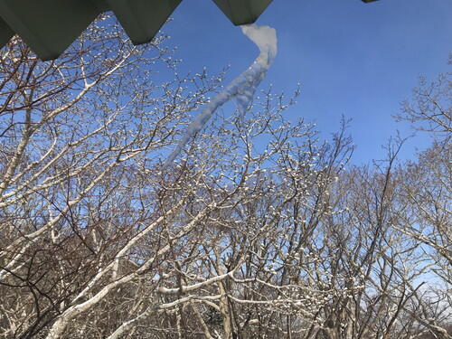
Icicles hanging from the roof of the observation deck. The magnolia trees in the background are sporting winter buds. 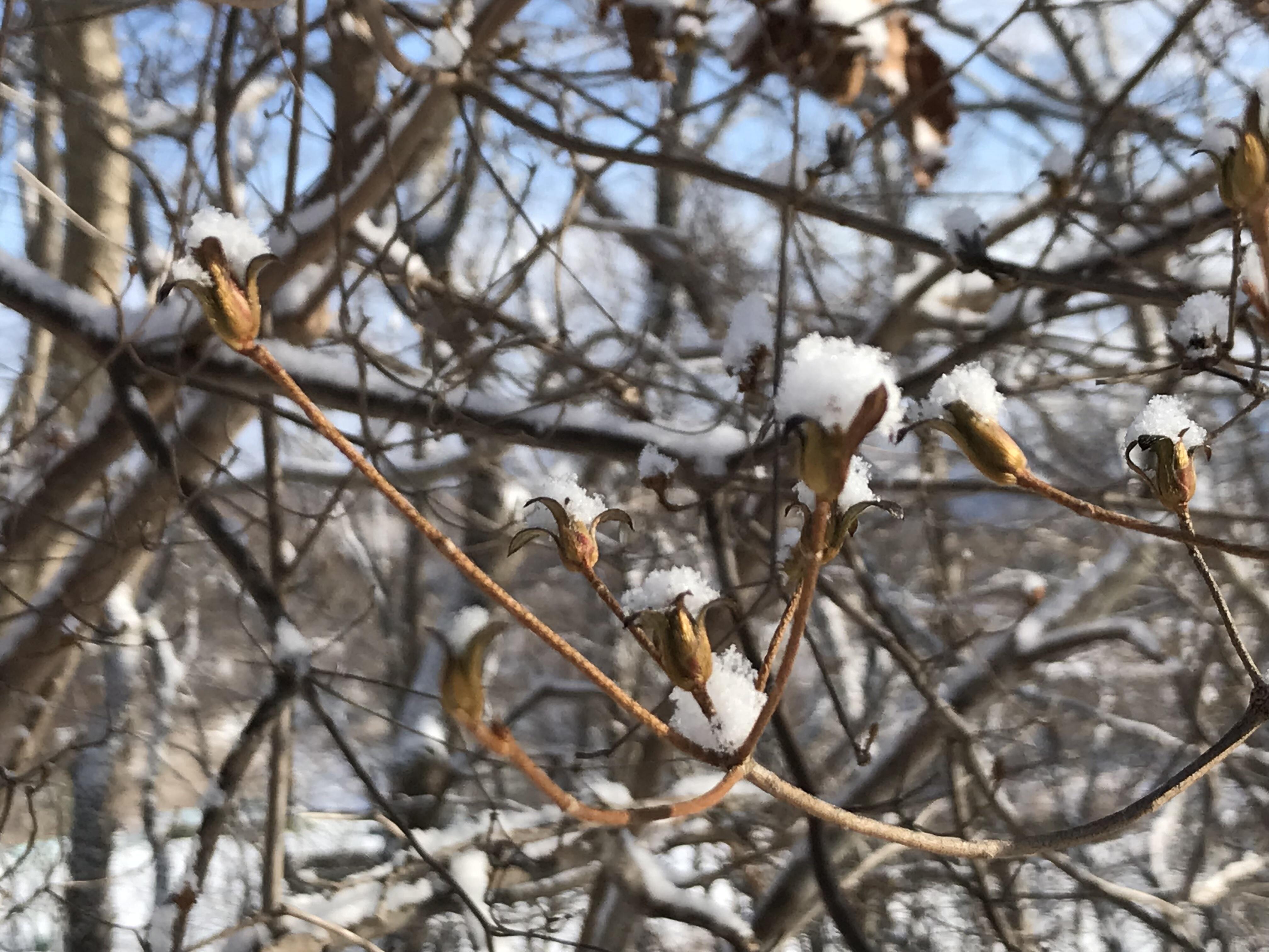
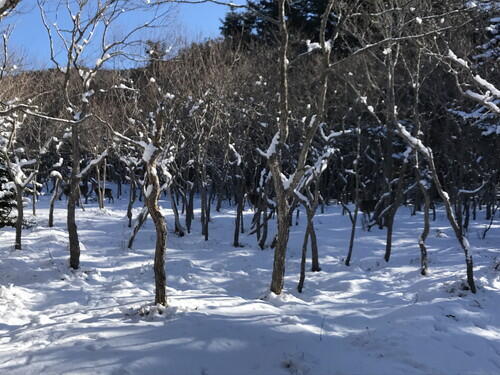
The snow has piled up on these trees, and it looks like little dumplings! It was hard to get a decent photo of it. 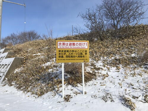
Evacuation signs have been posted along the roadside. 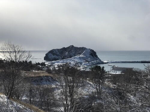
Cape Enrumu is visible from the opposite side of the evacuation sign.
2026.01.20
Apoi Dream Project
The Apoi Dream Project aims to cultivate the rare alpine plants of Mt. Apoi. This project is part of the Samani Junior High School's Geopark curriculum, with the help of the Mt. Apoi Fan Club. 
We started the process back in December by wrapping Kikyo and Ezokozorina seeds in damp paper towels and leaving them in a refrigerator for the seeds to germinate. On January 19th, the students transplanted the seeds into seed pots. 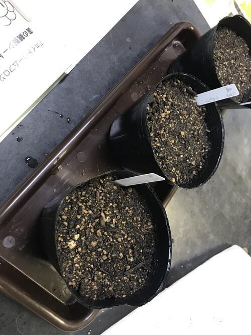
The seed pots will be placed in two rooms at the Junior High School that are kept at two different temperatures as part of the cultivation experiment. Over the winter, the students will continue to care for the seedlings. Once the seedlings have grown, they will be transplanted on Mt. Apoi at a regeneration test site near the 5th Station in June of this year. 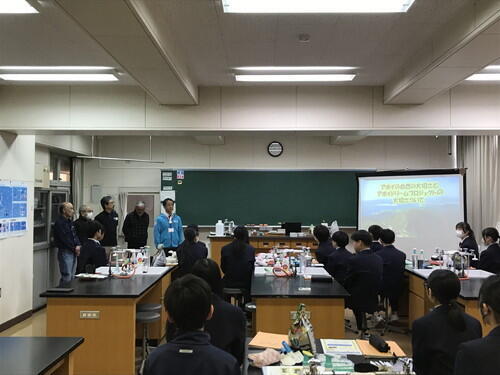
2026.01.19
Snowy Mt. Apoi (Jan 18)
I recently climbed Mt. Apoi, so here a report of what it currently looks like. 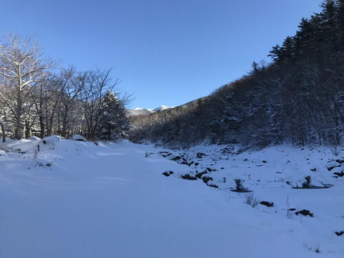 The Ponsanushibetsu River is frozen over and covered with snow.
The sky was so clear, I could see Mt. Pinneshiri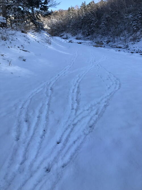 Ezo deer footprints
 Ponsanushibetsu River
These footprints belong to a rabbit! It's been a while since I've seen rabbit prints.
The prints on the left are from people.
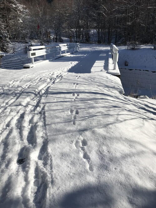
 1st Station
 There's a herd of Ezo deer along the birch trees (probably hard to see in this photo though).
 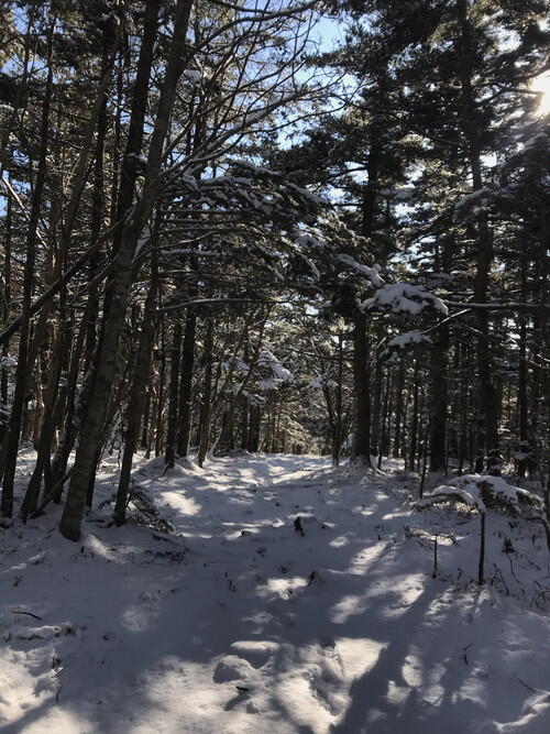 The snow in the middle of the forest is pristine.
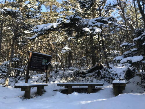 2nd Rest Spot
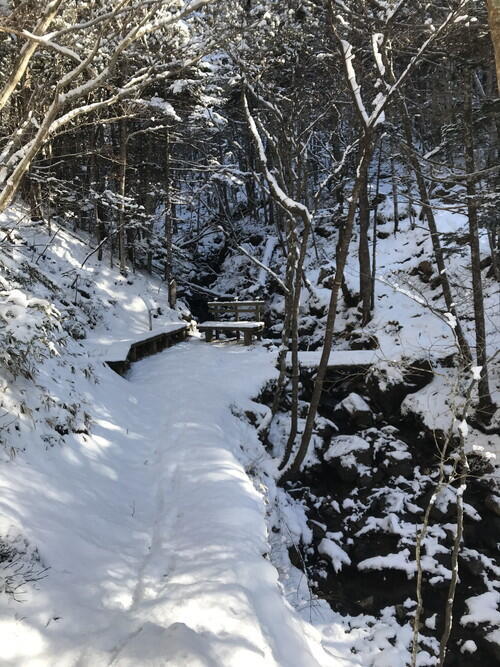 4th Rest Spot
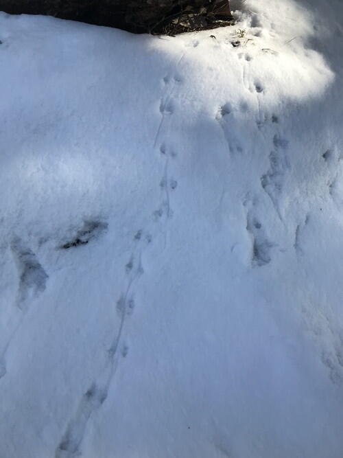 Near the 5th Rest Spot, I think I found mouse prints!
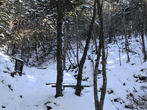 5th Rest Spot
5th Station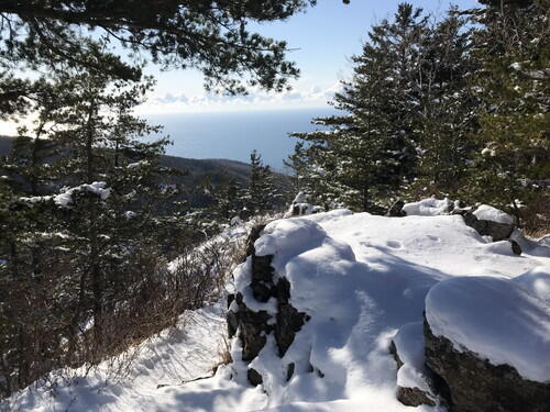 You can see the Pacific Ocean from the 5th Station
Heading towards Ume-no-se from the 5th Station.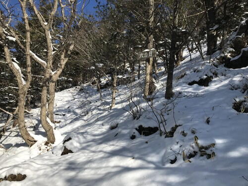 6th Station
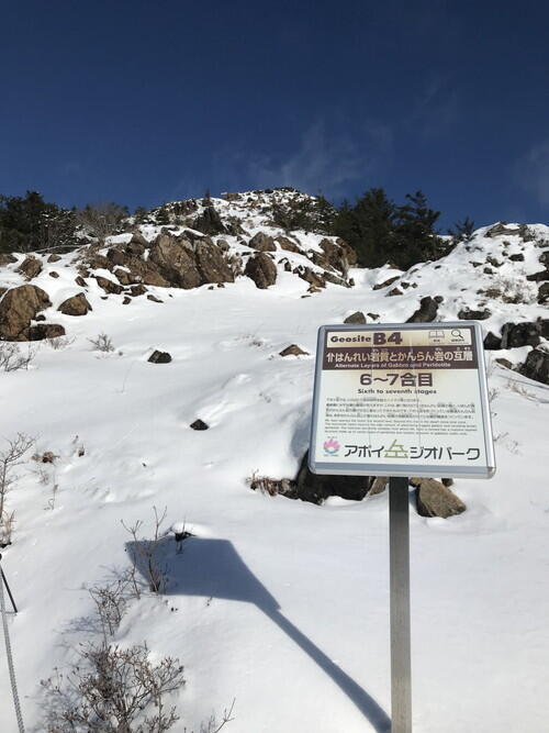 6-7th Station
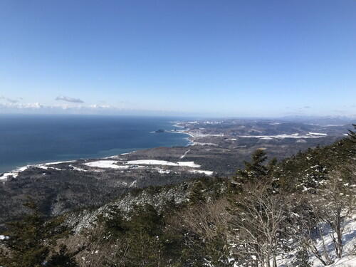 Pacific Ocean view from the 6-7th Station
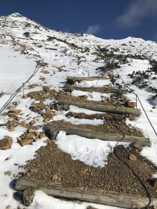 Closer towards Uma-no-se, the wind was blowing the snow around and I could see the ground in spots.
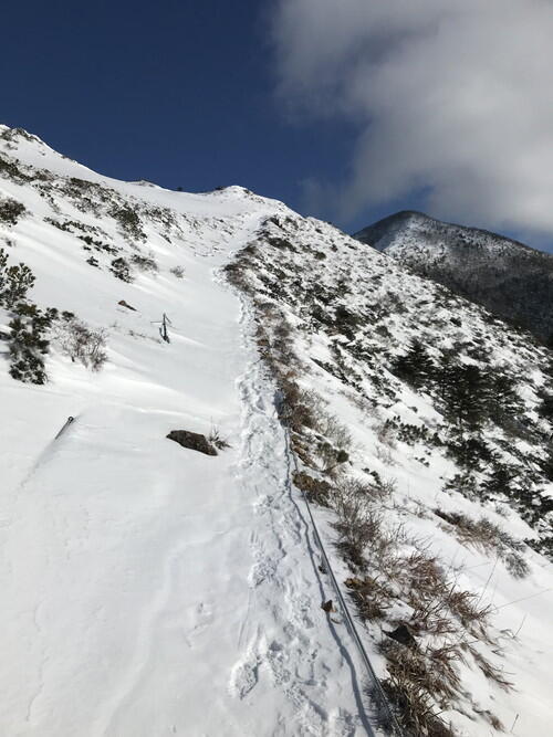 Uma-no-se flower fields
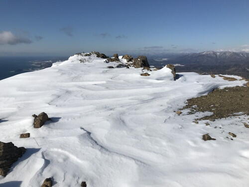 The wind creates pretty patterns in the snow.
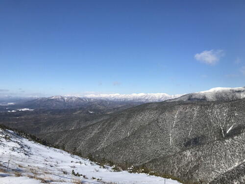
The Hidaka Mountains from Uma-no-se
Mt. Pinneshiri from Uma-no-se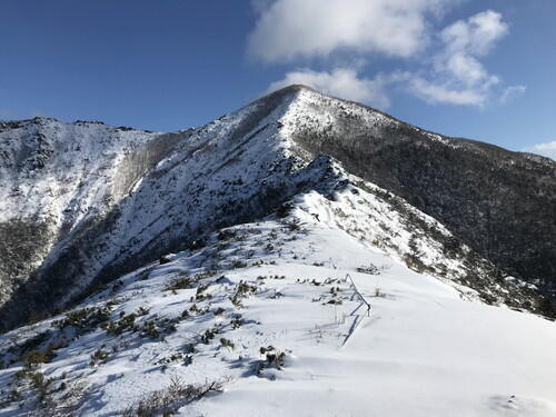 The top of Mt. Apoi from Uma-no-se
 Between the 7th and 9th Stations, there were some spots where the snowdrifts were so deep that the snow came up to my knees.
Every year, overhanging snow builds up on the left side of the ascending path.  The old Horoman flower fields
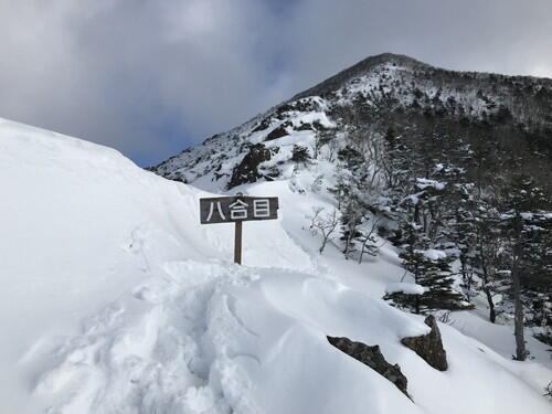 There was significant snow accumulation around the 8th Station.
 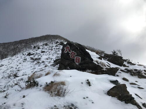 9th Station
 The summit of Mt. Apoi
 A view of the ridgeline from the 9th Station
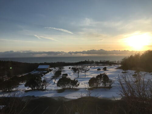 The sunset over the Pacific Ocean as seen from Hotel Apoi Sanso
A word of caution:
On this day, two other hikers joined him on this climb up Mt. Apoi. If I had been alone, I might have turned back at the 5th Station. Seeing a set of footprints go up the mountain made the climb considerably easier for me. Even so, I had to detour around two large snowdrifts I couldn't climb over.
On the way back down, I think I slipped and fell at least eight times between the 5th Station and the 2nd Rest Spot. I might not have slipped if I had crampons and trekking poles. There is ice accumulation under the snow, which makes it hard to see.
2025.12.14
Winter at Mt. Apoi
Winter at Mt. Apoi. For anyone who plans to climb Mt. Apoi, please be extra careful during the winter season. 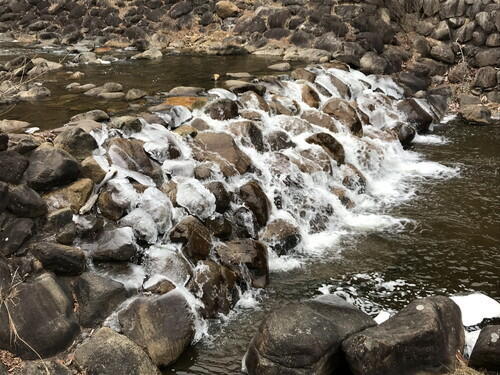
Ponsanushipetsu River
Part of the river is already covered in ice.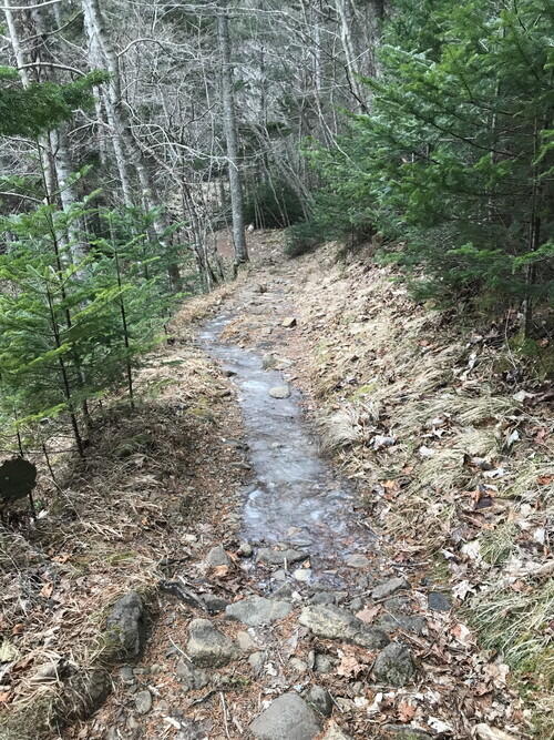
At the 1st Station, an ice path has formed in areas that usually hold water.
When I headed back down the mountain, this area was covered in a light dusting of snow, and I could not see the ice underneath. 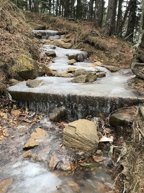
Near the 3rd Station
I feel like this area becomes the most slippery every year.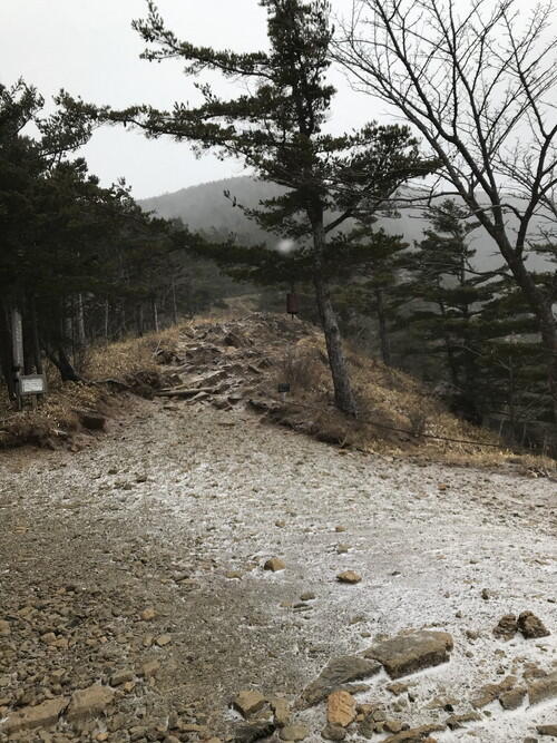
5th Station
The summit of Mt. Apoi was covered by blowing snow, so I couldn't see it from here.
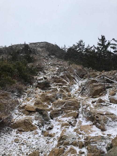
7th Station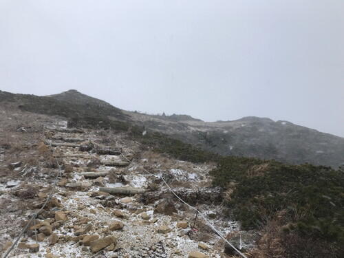
Uma-no-se
The wind was strong enough here to push me around a bit.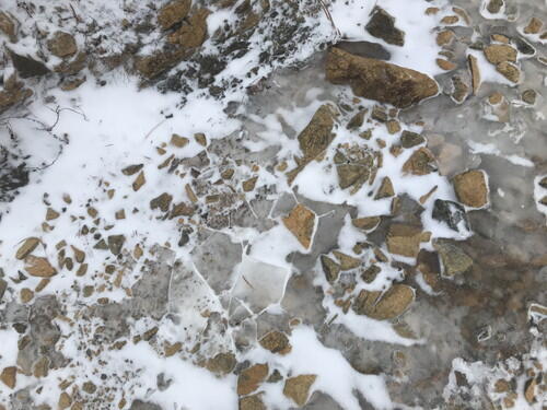
The ground was a mosaic of ice and peridotite.
I tried to step on the brown peridotite so I wouldn't slip. 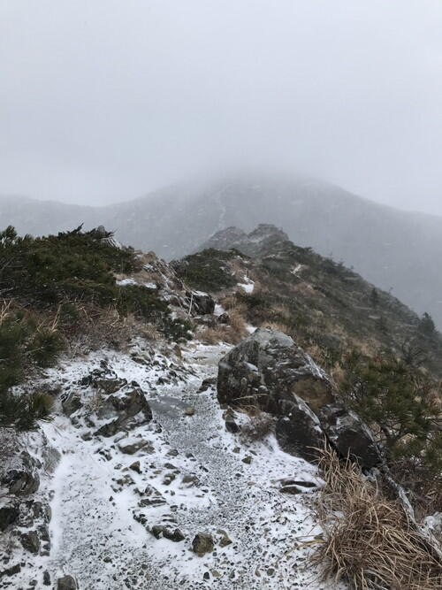
Uma-no-se - 8th Station
The summit of Mt. Apoi is still covered in a snowstorm. 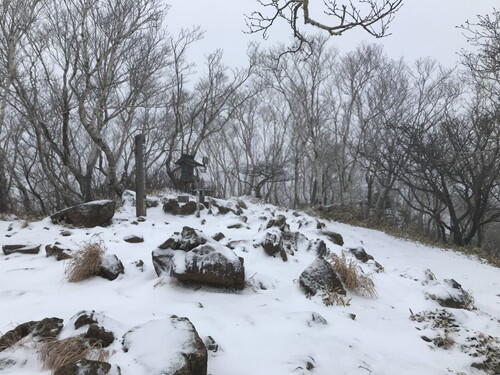
The Summit
I believe that even more snow has piled up since I took this photo.
2025.12.12
Samani Junior High Apoi Dream Project
On Friday, Dec 12th we began the Apoi Dream Project with the Samani Junior High 7th graders.
The Apoi Dream Project aims to reestablish the flowering areas on Mt. Apoi. The students grow Mt. Aapoi alpine flowers from seed and then transplant the mature plants onto the mountain.
This time, the 7th graders will conduct experiments to investigate various variables within this project, such as "Can alpine plants be grown indoors?" and "Under what conditions will they grow?"
Since many of the alpine plants on Mt. Apoi are endemic, if they become extinct, they will vanish from this earth. This project aims to prevent the disappearance of these rare plants and was introduced as a joint project with the Mt. Apoi Fan Club.
We began with a cold-wet treatment on kikyo (bellflower) and ezokozorina seeds (2 varieties from 2023 and 2025). The seeds will germinate better by simulating winter conditions.
We were shown photos of kikyo (bellflowers) grown by the Mt. Apoi Fan Club members last year at the Mt. Apoi regeneration experimental site. The students were very impressed! Even though the kikyo seedlings did not sprout this year, the data we recorded will help us increase the existing plant numbers. 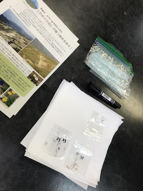
Ezokozorina and kikyo seeds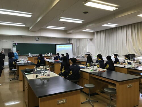
Students listening to the lecture
During the next project session planned for January 2026, we will extract the germinated seeds and plant them in planters. From January to June, the students will grow the seedlings at school while taking observational notes. Then, in June, we will plant the seedlings at the Mt. Apoi regeneration experimental site.
~~~~~~~~~~~~~~~~~~~~~~~~~~
On this day at 11:44 AM, the emergency earthquake early warning alarms sounded. The students took cover underneath their desks.
We experienced a Shindo 3 earthquake in Samani. The epicenter was located offshore Aomori prefecture, at a depth of 20 km, and a magnitude of 6.7
At 11:52 AM, a tsunami advisory was announced in Samani.
~~~~~~~~~~~~~~~~~~~~~~~~~~
NHK News Article (Japanese)
Shindo 3 in Samani - Residents Evacuate in their Vehicles
